 Krater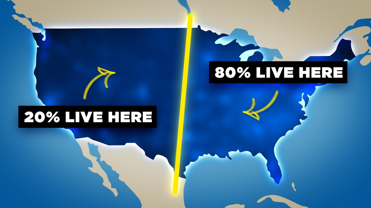
Why 80% of Americans Live East of This Line
A video on YouTube. In Explainers, a Krater category.
Watch on YouTubeSummary by Krater
This video examines why North America's human population and precipitation levels are sharply divided along a North-South line, exploring historical geographic insights, climate science, and water scarcity issues in the western United States.
From the video
Answers: Why is the human population in North America split down the middle?
- population density in North America
- the 100th meridian and 98th meridian
- annual precipitation levels in the United States
- geographic rain shadow effect of mountain ranges
- water scarcity and irrigation in the American West
- John Wesley Powell's historical proposals
What it concludes
- 80% of Americans live to the east of the 98th meridian line.
- The 98th meridian sharply divides the American population and annual precipitation levels in half.
- The Rocky Mountains and Cascade Mountains create massive rain shadows, blocking moisture from reaching the western interior.
- The 100th meridian line of longitude, identified by John Wesley Powell, historically marks the boundary between the wet East and arid West.
- The arid/wet boundary line has steadily shifted eastward towards the 98th meridian over a century and a half due to global climate change.
- The Colorado River is experiencing unprecedented drying, leading to federal water cutbacks for states like Arizona and Nevada.
Rate it, review it and add it to your lists in Krater.
Titles and thumbnails from YouTube. Krater isn't affiliated with, endorsed by or sponsored by YouTube or Google.