 Krater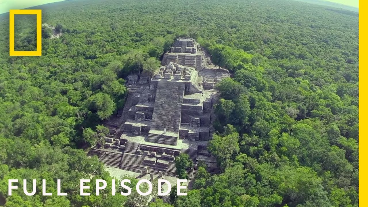
Lost World of the Maya (Full Episode) | National Geographic
A video on YouTube. In Documentaries, a Krater category.
Watch on YouTubeSummary by Krater
Archaeologists use lidar technology to discover hidden ancient Maya ruins and settlements beneath the rainforest canopy, revealing an extensive and sophisticated civilization.
From the video
Answers: How is lidar technology revealing hidden ancient Maya cities and changing our understanding of their civilization?
- Lidar technology in archaeology
- Ancient Maya civilization
- Rainforest archaeological discoveries
- Chultunes water management
- Secondary burials and offerings
- Northern Maya collapse
What it concludes
- Lidar technology allows archaeologists to map structures beneath the rainforest canopy without disturbing the ground.
- Lidar mapping of the Maya Biosphere Reserve revealed a massive network of man-made structures, complex roads, and agricultural sites, indicating a much larger and more sophisticated society than previously thought.
- Excavations at Kiuic and findings of elite houses across the region suggest that wealth and prosperity were distributed among a broad middle class nearly a millennium before Spanish colonization.
- Stairway chultunes functioned as massive underground rainwater storage systems capable of sustaining families through three rainless months.
- Core samples reveal that a series of multi-decade droughts overran the Maya civilization, leading to the abandonment of northern cities due to water scarcity and political collapse.
Rate it, review it and add it to your lists in Krater.
Titles and thumbnails from YouTube. Krater isn't affiliated with, endorsed by or sponsored by YouTube or Google.